Walloomsac River
The Walloomsac River is a mixed fishery with wild and stocked: Brook, Rainbow and Brown Trout. The drainage area is 111 square miles! Starting in Woodford Hollow east of Bennington at the confluence of Bolles Brook and City Stream to form Walloomsac Brook. In Bennington, Walloomsac Brook (locally known as “the Roaring Branch'') joins the South Stream to become the Walloomsac River. The lower section has a couple miles regulated as trophy water before entering New York State dumping in the Hoosic River. Significant hatches include: Hendricksons, Midges, Caddis in every size and color, Sulfurs, Lt. Cahills, Gray Fox, BWO, Tricos and Isonychia.
Walloomsac Trophy Area
harvesting season & limits
From the VT/NY border in Bennington upstream to the top of the former Vermont Tissues Plant Dam (downstream of Murphy Road) in Bennington.
Brook, Brown, and Rainbow Trout: season, second Sat in April to Oct. 31; length limits, none; daily limits, total number of brook trout, brown trout, and rainbow trout, no more than 2
Most Vermont waters are open year around for catch & release fishing with flies and artificial lures. This includes the Walloomsac River.
TRIBUTARIES to the Walloomsac
South Stream
Roaring Branch
Furnace Brook
Jewett Brook
Paran Creek

USGS link for real time water data

Public access places on the Walloomsac River in Bennington, VT
Walloomsac Bike- Pedestrian Bridge
Silk Road Covered Bridge
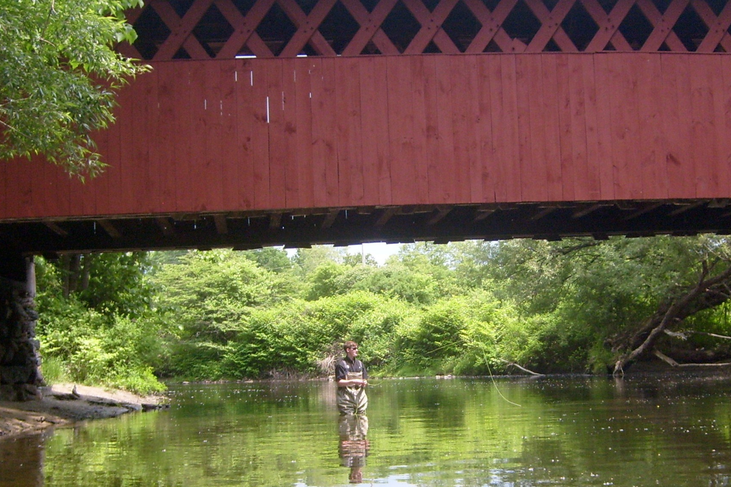
Paper Mill Covered Bridge
Hinsdillville Green Mountain Park, it’s a tiny 3 car spot
Henry Covered Bridge Green access
River Road parking
